Fish Report for 10-3-2017
Carson-Iceberg

by Phil "Flip" Akers
10-3-2017
Website
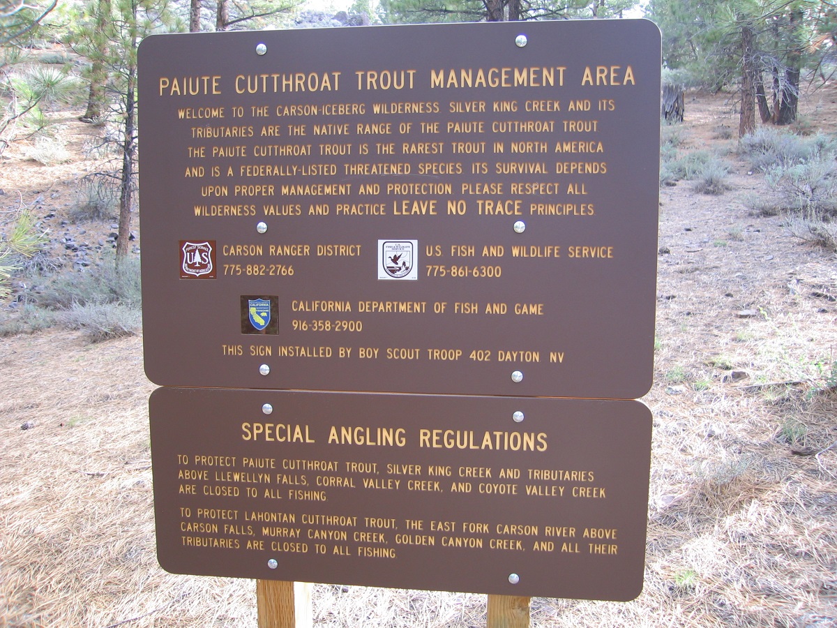
The Carson-Iceberg Wilderness is named for two striking geological features; the Carson River and a distinctive iceberg-shaped granite monolith. But the wilderness is likely best known for encompassing the native range of the Paiute cutthroat trout, one of California’s heritage trout. Silver King Creek and its tiny tributaries are headwaters of the East Fork Carson River, home to the Paiute cutthroat, and believed to be the smallest native range of all native trout in the world.
Congress passed the Endangered Species Preservation Act in 1966, and within a year, the Paiute cutthroat became one of the first animals to receive the federal endangered classification. It is currently listed as threatened and Silver King Creek is being restored to ensure the integrity of these pure-strain, native trout. Hopefully, someday, the restoration efforts will successfully conclude and anglers will once again be allowed to fish Silver King. But for now, it remains closed to fishing.
This article chronicles the lesser-known Carson-Iceberg, scouting the headwaters of Arnot and Disaster creeks, and plying both Asa and Half Moon lakes. Having visited this area years ago, I was interested to see if wild trout still inhabited the creeks, and, if so, how many and how big. There’s no trophy fish here, unless you consider 10-to-12-inch wild trout a trophy…I sometimes do.
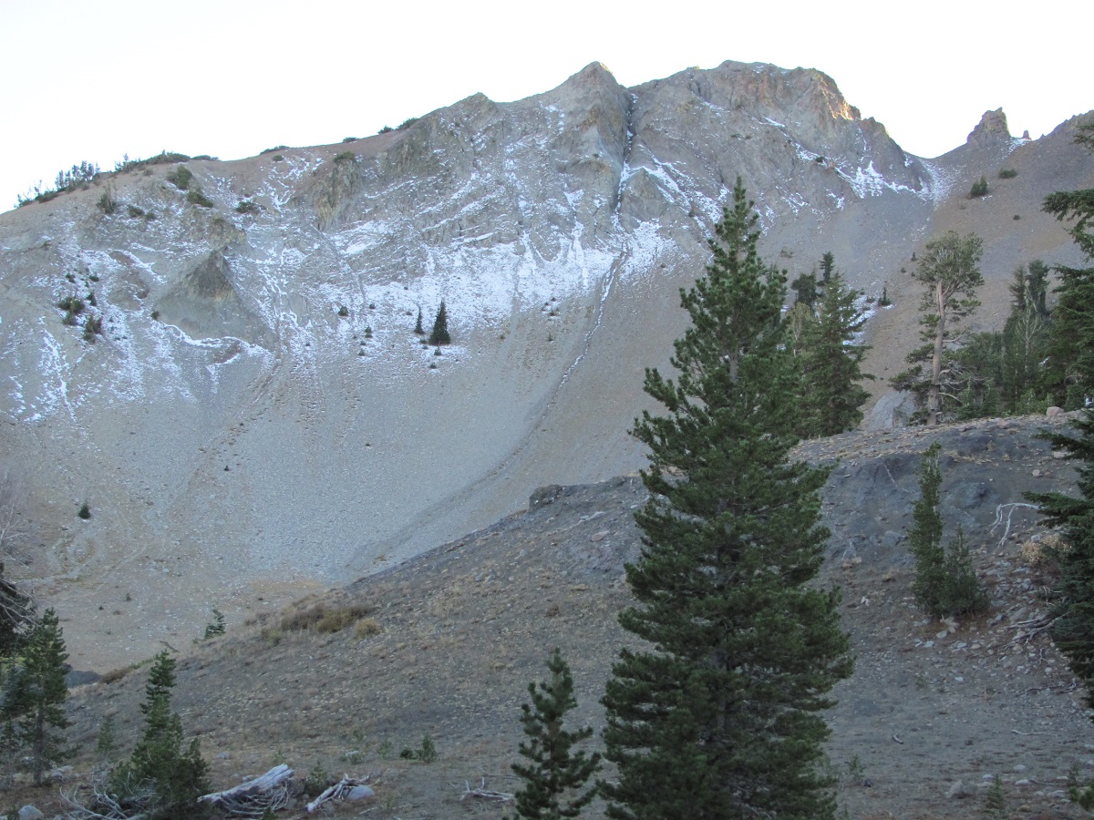
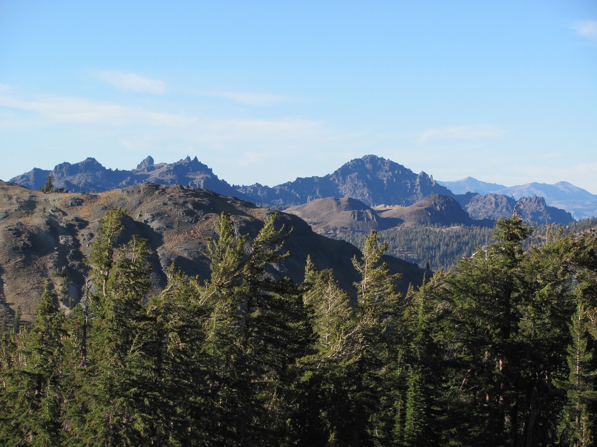
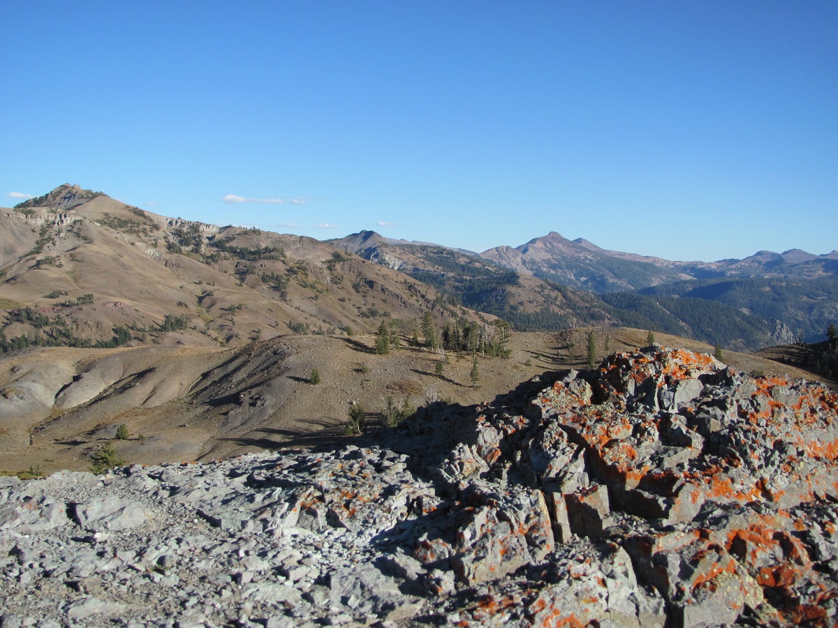
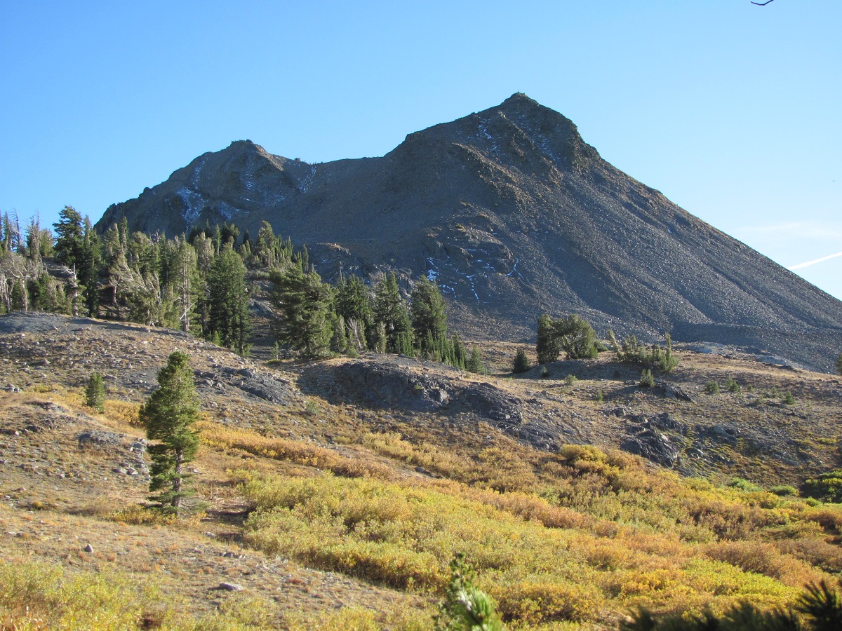
Here in the Carson-Iceberg, the crest of the Sierra isn’t as dramatic as the conspicuous 13-14K feet/elevation peaks of the southern Sierra. The mountain landscape here is less granite and more volcanic, composed of a whorled mix of solidified mudflows, hoodoos, crags and eroded spires jetting upward to the sky. This is mostly wide open terrain...the peaks more bulbous...the forest less ostentatious. But it’s just as colorful, perhaps even more so, and provides greater solitude.
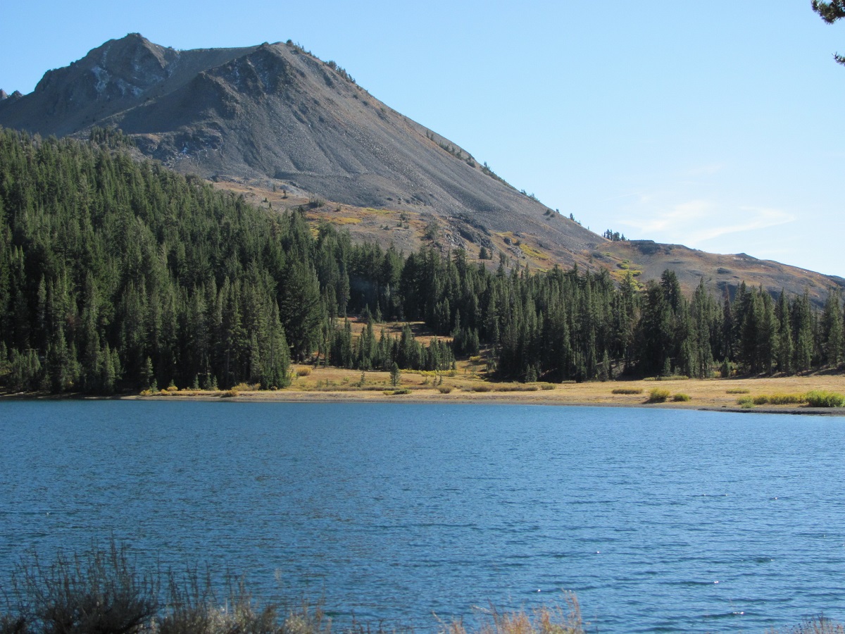
My trailhead was Gardner Meadow located at Highland Lakes. Although the two Highland Lakes are within a few hundred feet of each other, and there’s probably less than twenty feet of elevation difference between them, this signifies a major watershed barrier between the Mokelumne and Stanislaus rivers. Upper Highland Lake drains into the Stanislaus River via Spicer Meadows, and the lower lake feeds the Mokelumne River. The two lakes are starkly different in terms of makeup as well. The upper lake is more nutrient rich with a green tint, while the lower lake is deep blue.
My favorite pastime is chasing wild trout in areas of extreme solitude. The Carson-Iceberg fits that bill. The wildflowers here and in the adjacent Mokelumne Wilderness are well sought by photographers. Although late July is the peak wildflower season, I visited in the fall, sharing my trailhead camp with a deer hunter. The only person I encountered in the wilderness was a lone cowboy, gathering a few straggling range cattle before the snow begins.
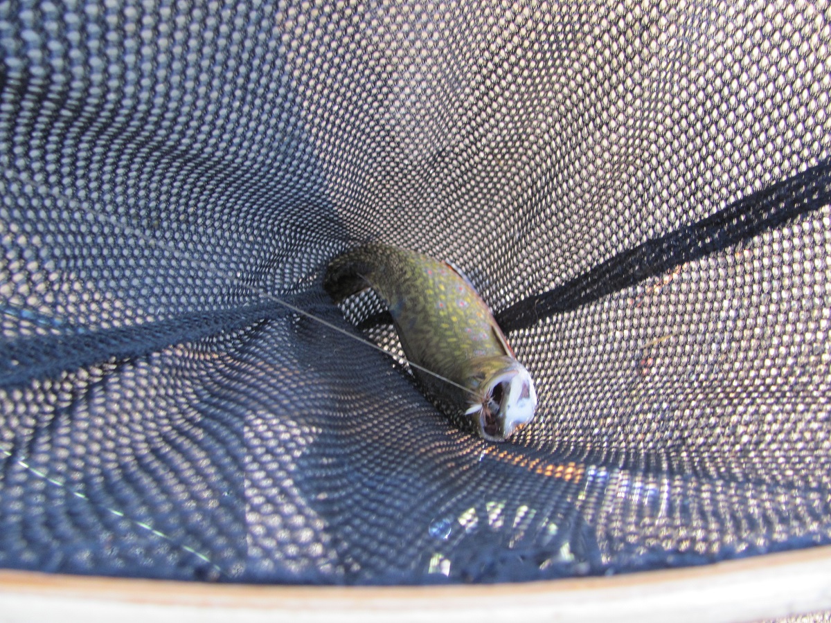
As mentioned, the trout are small, because the creeks are small, and the season is short. These wild trout are thriving in numbers though. So sweet to see! Arnot Creek was teeming with wild trout. The willows and other thick shoreline vegetation make angling access difficult but this is precisely what wild trout need to survive. These trout are spooky and quickly dart for cover. Having participated in the Heritage Trout Challenge, this area is comparable to the remoteness and other challenges found when hunting native trout in their small, native headwaters throughout the state.
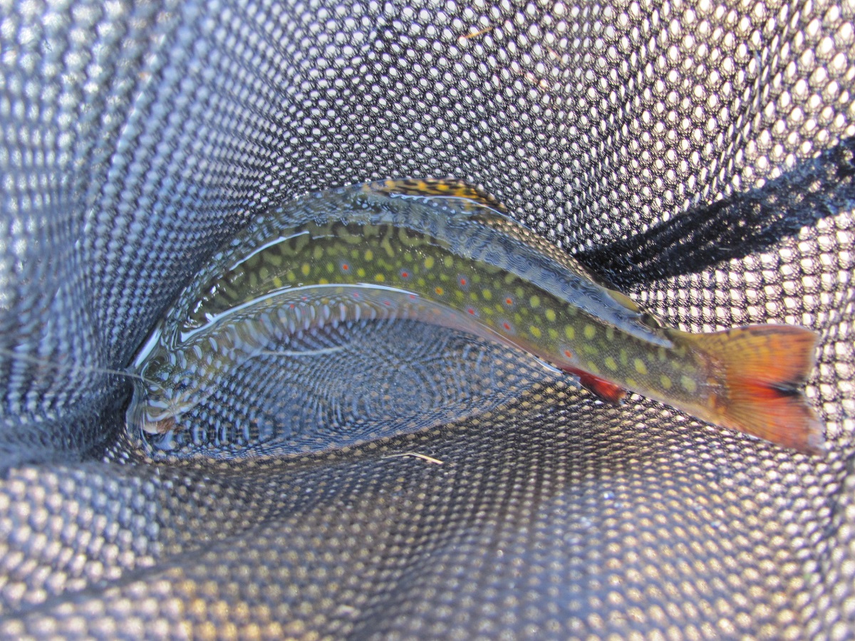
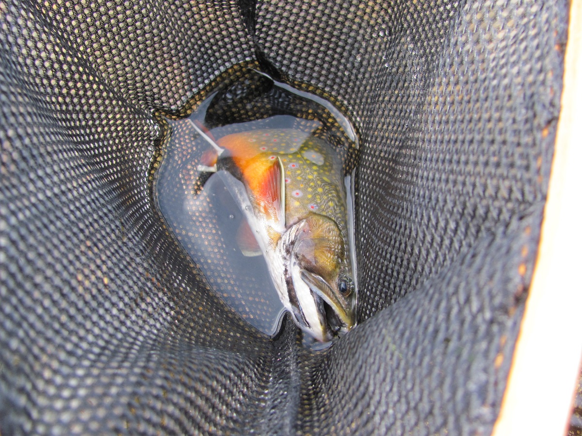
The largest trout I found was at diminutive Asa Lake, on the Pacific Crest Trail. The brookies here are small but rambunctious, colorful, high-elevation trout that provide fun fly fishing…a 12-incher from Asa is a trophy. Half Moon Lake is a swamp.
Thinking about going?
The Carson-Iceberg Wilderness straddles the Stanislaus and Humbolt-Toiyabe National Forests. A free wilderness permit is required for overnight stays within the wilderness. Self-issue permits can be found at some trailheads, contact your nearest Ranger Station (Stanislaus or Humbolt-Toiyabe) to see if your trailhead is self-issue. I prefer to call in my permit and request the Rangers place it in their outside pick-up box. That way, I don't have to schedule my trip around the Monday-thru-Friday-8-to-5 hours the permit station is open. Standard wilderness rules apply – Leave No Trace ethics. Always check for current fire restrictions. Pooch is allowed. Because of the solitude, this is a great place to take the doggies.
To reach the trailhead
On Highway 4, one mile west of Ebbetts Pass, turn south on Highland Lakes Road and follow five miles until you reach Highland Lakes. It's a very narrow road, but paved at first, becoming dirt, and seemingly rougher the further it goes.
Gardner Meadow trailhead is located by taking a spur road to the left, just before reaching the first lake. There's another trailhead located on the opposite side of the lakes that follows Highland Creek to Spicer Meadows. Wild trout populations can also be found in Highland Creek.
There's a Forest Service campground at Highland Lakes and Hiram Peak looms large over the campground. This is a popular peak to climb, you can even take the kids up. The use trail to Hiram peak begins next to campsite 31. Follow to the top of the ridge then traverse off-trail, following the rocky ridgeline over to the peak.
Now go!
Get a map of the wilderness and go experience the solitude of the Carson-Iceberg. Exercise stress management by exploring the high elevation creeks and lakes for wild trout. Allow your eyes to feast on immense views absent of humans. Allow your old factory to sense the fragrant forest. And may the only sounds you hear be the sonorous cadence of a gurgling trout stream, the screech of a Peregrine falcon, and the buzzing of bees as they drone the mountain meadows. Plan well, be safe, and enjoy the Carson-Iceberg.
Phil "Flip" Akers is a diverse angler and outdoor adventurer. For over 25 years he has backpacked, packed llamas and fly-fished the Sierra Nevada and Cascade mountain ranges, venturing into the farthest reaches of our wilderness areas pursuing quality trout and solitude. He enjoys sharing his experiences including tips, techniques, outdoor cooking recipes, and storytelling. He is certified in wilderness first response and rescue including swiftwater rescue, technical rope and technical animal rescue. Phil Akers can be reached at akers209@att.net.
Photos
More Reports
Making the Most of Your Deer Tag
9-29-2017
For a long time I’ve been thinking about the so called good-old-days with regard to deer hunting in this state....... Read More
Misconceptions on wheel alignment
9-27-2017
Driving on rough terrain as outdoor enthusiasts often do, can play havoc with your vehicle. This column has to do...... Read More

Website Hosting and Design provided by TECK.net
